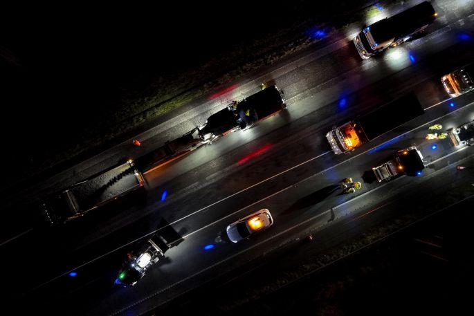
Highways England is using drone technology to monitor progress on motorway roadworks.
The government-owned company said this means it can view progress in 3D quality across a much larger area, which reduces the number of lane closures needed.
Once footage is downloaded, specialists can use the imagery to see detailed progress on gantries, foundations and other structures. This information can then be used to inform decisions around planned closures and to help plan future work.
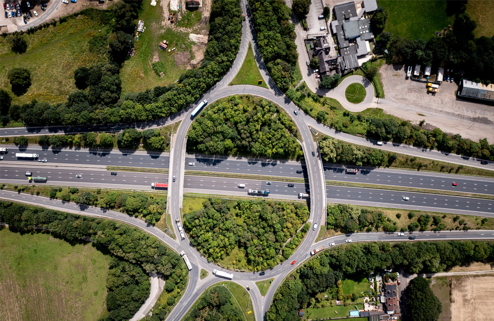
The technology is currently in use on the upgrade of the M6 between junctions 2 and 4 near Coventry and has also been used on the A14 Cambridge to Huntingdon upgrade.
Smart motorway sponsor Peter Smith said: ‘Safety is our top priority and we constantly pioneer ways of using new technology to keep people safe while we do this work.
'The drone is a fantastic piece of kit that provides us with detailed insight into scheme progress across a large area of the works in a much quicker and efficient way.
'It surveys up to 10km in a single day and then creates an accurate 3D model of the works in just one hour. Ordinarily, inspections by road workers require lane closures for safety reasons and can take up to several days.'
Highways England said teams working on the M6 upgrade are making good progress and have so far notched up more than 1.1 million hours.
A new concrete central reservation barrier is currently being installed that prevents traffic from crossing to the opposite side of the carriageway.
Although Highways England has highlighted the technology behind smart motorway schemes, the lack of technology to monitor live lane breakdowns on most schemes has attracted criticism.
Last month chief executive Jim O'Sullivan told a conference: ‘'One of the biggest single innovations in recent years that has made a huge difference to the safety of any road is concrete central reservation.'