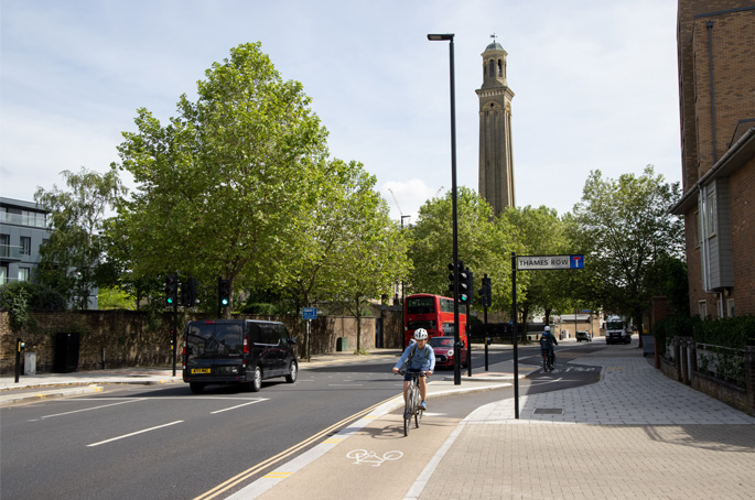
To mark National Walking Month, Transport for London (TfL) has launched a series of maps showing walking times between stations.
The digital maps of the City of London and the West End can be downloaded here and show the distance in metres between TfL stations in those areas, the time it would take to travel that distance on foot and also highlight areas with shops and major attractions.
TfL has also developed a third map based on the standard tube map that shows walking times and distances between stations in travel zones 1-2 for all TfL public transport modes.
The charity Living Streets, which runs the annual National Walking Month campaign, says that inactivity is linked to 20 chronic conditions and one in six deaths in the UK.
TfL has released these maps with the hopes of encouraging people to build walking into their journeys to support the mayor's ‘ambitious target' of 80% of all journeys being made on foot, by cycle or on public transport by 2041.
Walking and cycling commissioner, Will Norman, said: 'Walking, especially when combined with public transport, is one of the most effective ways to reduce our reliance on cars. It also improves air quality, reduces congestion and road danger and connects communities. I encourage Londoners to swap part of their journeys for walking and use TfL's new walking maps to explore more of what our city has to offer on foot.'
Christina Calderato, TfL's director of strategy, added: ‘In London, we're also spoiled with so much history and intrigue on our streets, which makes travelling by foot all the more rewarding as we discover cobbled streets, hidden parks and neighbourhood restaurants we never knew about. With the warmer weather with us, now is the perfect time to download one of our new maps and get exploring.'