It says the British driving locations for the 15th to 30th June will be:
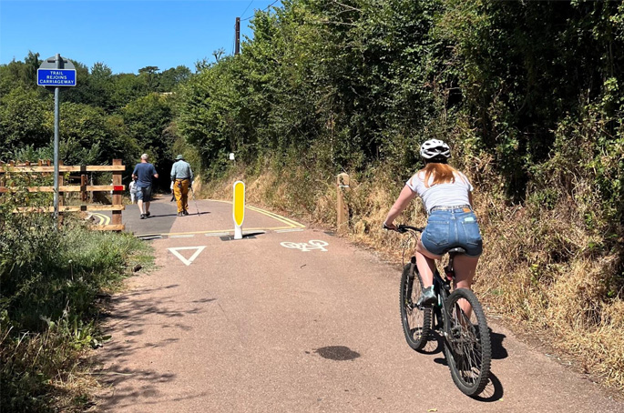
Apple to drive Southeast and Midlands to "improve maps"
Apple has announced it will drive vehicles around areas in Britain, Ireland and the USA to collect data which, it says, will be used to improve Apple Maps.The company adds that some of this data will be published in future Apple Maps updates.On its website, Apple has reiterated that it is committed to protecting privacy while collecting this data. For example, it says, it will blur faces and number plates on collected images prior to publication. It is not clear what such "publication" will be used for.

SIGN UP TO HIGHWAYS NEWSLETTERS
Get daily updates straight to your inbox.


Technical Officer Structures
Grade 9 £47,181 to £51,356
Are you an experienced Civil Engineer ready to take on a high-profile role in the management of critical highway infrastructure?
Senior Drainage Engineer
£47,181 - £50,269
Your technical talents and leadership skills can make a key contribution to the regeneration of Salford
Senior Project Manager
£50,269 - £53,460
You have the opportunity to lead, co-ordinate and manage a wide range of projects
Highways Supervisor
£47,181 – £50,269
This role is your chance to direct the on-the-ground delivery of highways works and projects at the heart of Salford’s regeneration.
Senior Engineer / Transport Planner
£47,181 – £50,269
This role is a chance to build on the experience you have in Transport Planning or Civil Engineering
Traffic Engineer
£39,152 – £41,771
If you want to make a difference to communities with your skills in Civil Engineering, then we can offer exposure to wide-ranging projects
Senior Traffic Engineer
£47,181 – £50,269
Our Engineers have a large and varied pipeline of improvement schemes and new developments to bring to life within our communities.
Senior Engineer Highway Design
£47,181 to £50,269
This role is an opportunity to advance your leadership career in a role that will help transform transport and travel in Salford.
Senior Clerk of Works (Highways)
£50,269 - £53,460
Take the next step in your leadership career in a city that’s being transformed by civil engineering.
Engineer: Highway Design
£39,152 - £41,771
This Engineer role is an ideal opportunity to grow as a technical expert and manager
Senior Highways Jobs
£40,000 and above
See our dedicated page for all management jobs in the UK road sector
Working in Partnership with


© 2026 Hemming Group Ltd. Registered in England 490200