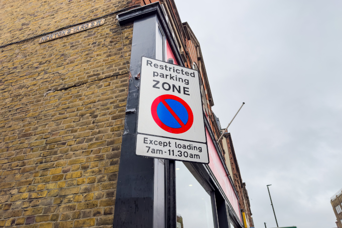
A new satnav project aims to stop lorries and other vehicles getting stuck in narrow lanes and under low-lying bridges on UK routes.
The BBC reports that Ordnance Survey is creating a database that will contain information about 200,000 miles of roadways to prevent such accidents.Sat-nav makers will need to pay to get access to the full data."The new database will provide the sat-nav manufacturers with the ability to make journeys for HGV drivers safer and more cost-efficient and that's a big issue for us," Richard Burnett, the chief executive of the Road Haulage Association, told the BBC."However, the new technology can only be considered a real success if each of the sat-nav providers sign up to the new system."The National Digital Road Map database will include information about:- Road widths
- Weight restrictions
- Bridge heights
- Restrictions on left or right turns at junctions