Uber mapping London in anticipation of driverless cars
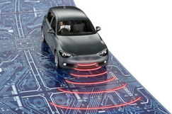
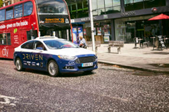
Uber is reported to have deployed a fleet of mapping cars London's streets in an attempt to create its own version of Google Street View in order to allow drivers and users to find the best pick-up and drop-off points as well as the best routes to avoid congestion.MotoringResearch.com reports that the business has already been mapping American roads and is now looking to map London's streets ' with other British towns and cities to follow.It quotes a blog post by Uber's Brian McClendon, formerly head of maps at Google, saying that, 'Behind every successful Uber ride is a technology many of us take for granted: maps. Mobile maps and GPS allow us to match you with the closest available driver, navigate the fastest path to your destination, and give you an accurate ETA. Accurate maps are at the heart of our service and the backbone of our business.It adds that the move could also help Uber's fleet of driverless cars, which are already being trialled on public roads in Pennsylvania.


