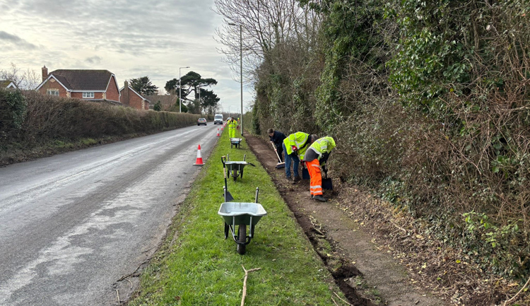
National Highways has awarded more than £420,000 to 13 Natural Flood Management projects in an initial tranche of flood protection funding.
The fund is being delivered in partnership with the Don Catchment Rivers Trust and the Mersey Rivers Trust.
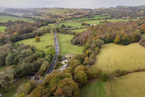
Routes on the strategic road network (SRN) due to benefit from the pilot measures include the M60, M62, M66, A58, A616, A628 and the B6194. The initial 13 projects cover parts of the Little Don, River Etherow and River Irwell catchments.
A second round of bidding to increase the number of schemes in the pilot will open later this month when just under £250,000 will be available. The cash has come from National Highways' Designated Funds programme.
Natural Flood Management (NFM) is an emerging approach to addressing flood risk.
The methods slow water flow or store water in the landscape by emulating or enhancing natural processes, such as creating storage ponds, planting woodlands and hedgerows, or constructing 'leaky dams' - natural barriers that regulate the flow of surface water run off.
Other examples include changing the way land is managed so soil can absorb more water.
Head of environment at National Highways Ivan Le Fevre said: 'This pilot will explore how we can work with farmers and landowners to reduce flood risk on sections of the strategic road network known to be particularly vulnerable to flooding.
'It's an innovative catchment-based approach to an issue that poses safety risks to road users and one that we normally tackle through engineering. By developing flood alleviation schemes throughout the catchment areas of these three rivers we are tackling the issue at source.
'We've been staggered by the phenomenal response to the scheme. We had so many applications, which shows there's a real appetite for natural solutions and our successful bidders are now playing an important role in reducing flooding in downstream areas.'
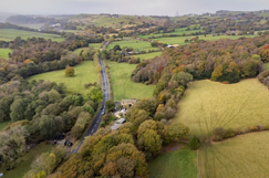
One of the bidders was Adrian Tantrum, who owns 46 acres of land above the A616 Stocksbridge Bypass at Penistone on the edge of the Peak District in South Yorkshire.
Most of his land, which is in the River Don catchment, is used for grazing sheep but there are also 14 acres of irreplaceable ancient woodland as well as a large area of rare ancient hay meadow, which is a designated Site of Special Scientific Interest due to the presence of many rare species including orchids.
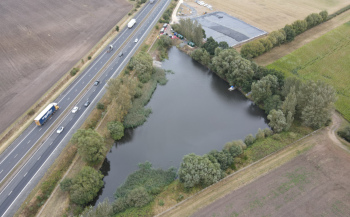
He will be creating some leaky barriers in the Hollins Brook stream that runs through his woods. Further upstream he will ll be restoring three ponds - one will be used for permanent water storage at a fixed level while the other two will be 'leaky ponds' with a variable water level, used to store water during periods of heavy rainfall and then release it slowly.
Mr Tantrum will also be creating new woodland by planting between five and six thousand saplings, mostly native broadleaf species such as hawthorn, rowan, oak and damson. These will enable the land to store more water while at the same time providing valuable biodiversity benefits and carbon sequestration.
He said: 'It all tied in very nicely. I use the A616 a lot and know what it's like when it floods because the rainwater comes off the hills so fast. Being able to implement all these measures to help alleviate that while also restoring or creating new wildlife habitat is a win-win.'
Six other projects in the River Don catchment include cross-slope tree planting, hedgerow restoration, soil aeration, the creation of leaky dams and storage ponds and fencing off watercourses to prevent contamination by livestock, providing animals with water troughs instead.
Dr Ed Shaw, managing director of the Don Catchment Rivers Trust, said: 'The scale of the NFM is also quite exciting, being bigger than anything we've been involved in previously. If the project proves a success and NFM is adopted by National Highways as part of their toolkit for dealing with flooding then it will be a really positive step forward for society and the environment.'

