National Highways, in partnership with Ordnance Survey (OS), has launched a new digital road network model that they say could lead to ‘safer and more efficient journeys'.
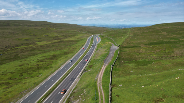
Data provided by OS formed the foundation of the new digital model of the 4,500 miles of motorways and A roads in England that form the Strategic Road Network (SRN).
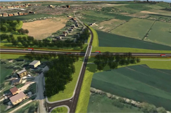
Presented in 29 different layers, the model contains information such as attribution data about the names, location, lanes and widths of motorways and A roads, transport links and nodes and height and weight vehicle restrictions.
It also features a built-in mechanism for continuous improvement based on user feedback and reporting of data quality issues.
According to National Highways, delays on the SRN cost England around £3bn per year, but it states that accurate data about these roads – which it aims to provide via the new model – is ‘fundamental' to improving the efficiency of the network.
The model is derived from OS MasterMap Highways Network data, but also features additional information from the road authority's datasets.
To make sure this model is fully accessible, the Network Model has been released publicly via the Digital Lab Open Data Hub, so that both the commercial and public sectors can make ‘informed decisions' and continue to support innovation on the SRN.
Data provided by the model is expected to provide government and local authorities with more information on events, such as roadworks on the SRN, which National Highways says will help them manage congestion.
The new model will also allow car manufacturers to benefit from updates on signage, speed restrictions, hazard warnings and road closures, which can be fed directly into in-vehicle navigation systems to allow road users to plan ‘safer and more efficient journeys'.
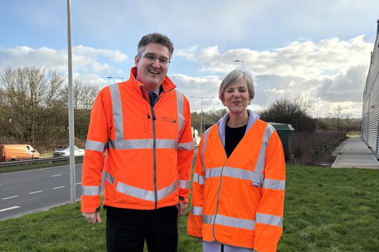
Davin Crowley-Sweet, National Highways' director of digital technical competence, said: ‘Ordnance Survey is the most authoritative provider of national location data, providing us the strongest foundation for this most comprehensive model of the Strategic Road Network to date.
‘By making the Network Model data publicly available, we empower our partners such as wayfinders, local authorities, and researchers to enhance services, improve efficiency, and innovate.'
John Kimmance, chief customer officer at OS, added: ‘Working with Ordnance Survey to use the most trusted and accurate data as a foundation in the new Network Model, National Highways has developed an innovative tool designed to enhance journey safety and efficiency for all users, while also supporting cost-effective planning across both public and commercial sectors.'
The National Highways Network Model is now live and available here.