The 1 April marks 100 years since the introduction of A roads, as the new numbering system for Great Britain was published.
Before road numbering was introduced, local authorities found it difficult to keep track of maintenance work, central government had no accurate measure of how far apart towns were, or what state any of its roads were in.
Travellers had difficulty finding their way around, because one road was much like every other, and road signs were poor.
The Ministry of Transport was formed in 1919 and given authority to classify highways and allocate funding for road maintenance.
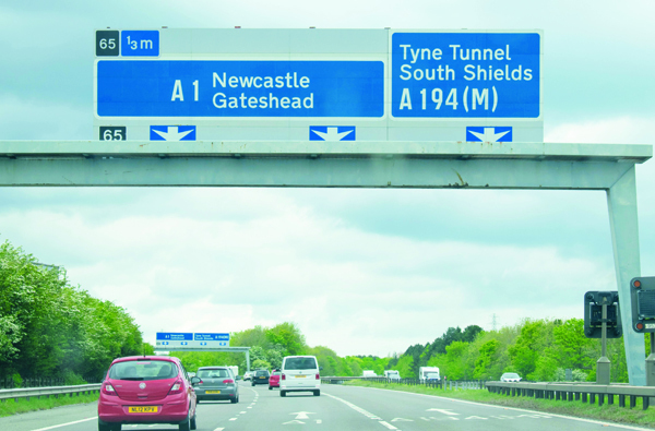
The definitive list of major roads was published on 1 April 1923, following consultations with local authorities. Each road was given a single letter, denoting the road's category, and a subsequent number of between one and four digits.
Road numbering enabled significant progress in how roads were funded, managed and used. It made it easier to know which road you should be taking to your destination. And with the clever radial system, there was a subtle helping hand; if the road number didn't begin with a 2 , you were not heading through Kent to Dover.
It gave continuity to the route as well, given how many roads change names multiple times.
Of course, a lot has changed over the last 100 years since the road numbers were first introduced. With the original aspiration of having A roads at the top of the league, when motorways were first introduced a new letter was needed.
A roads make up 58% of the strategic road network, many of them with ancient origins. These roads have linked communities and enabled trade for centuries. Today's much larger population and current lifestyles mean that, while today's strategic A roads often follow the general route of the original road, the road itself would be unrecognisable to a Roman highway engineer.
Over the years many A roads have been upgraded, with projects to widen or even bypass the former route. And the projects have ranged from smaller junction improvements to multi-billion pound projects such as the A3 Hindhead tunnel that has now taken long distance traffic away from the village and restored tranquillity.
In England and Wales, the road numbering system for all-purpose (i.e. non-motorway) roads is based on a radial pattern centred on London. In Scotland the same scheme is centred on Edinburgh:
- A1 London to Edinburgh
- A2 London to Dover
- A3 London to Portsmouth
- A4 London to Avonmouth
- A5 London to Holyhead
- A6 London to Carlisle
- A7 Edinburgh to Carlisle
- A8 Edinburgh to Greenock
- A9 Edinburgh to Scrabster
The numbers of the roads changed quite frequently during the early years of the system, because of the rapid expansion of the network.
A1 / Great North Road
The Great North Road was the main highway between England and Scotland from medieval times until the 20th century. It became a coaching route used by mail coaches travelling between London, York and Edinburgh. The modern A1 mainly parallels the route of the Great North Road.
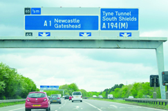
The A1 is the longest numbered road in the UK, covering 410 miles (660 km). It connects London, the capital of England, with Edinburgh, the capital of Scotland. The importance of this connection is why it was given the number 1 when the road numbering system was developed.
The A1 passes through 17 counties including Greater London, Nottinghamshire, North, West and South Yorkshire, Northumberland and the Scottish Borders.
There is an enduring public interest in the A1, around its history, the communities and industries it serves, and the improvements National Highways has made to it.
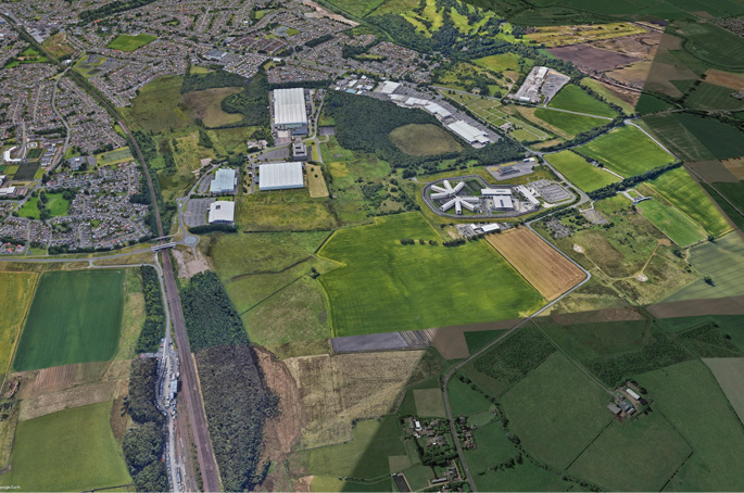
Scotswood to North Brunton scheme
National Highways' Scotswood to North Brunton scheme is an excellent example of the human, economic and environmental benefits achievable through continued investment in A roads.
The scheme will provide economic benefits for business users and freight, with improved links between places of economic importance, such as the Team Valley Employment Zone, the Metro Centre and Newcastle Airport. It will:
- provide a safe and serviceable network
- help traffic flow more freely
- improve the environment
- provide an accessible and integrated road network.
More broadly, the Scotswood to North Brunton scheme represents continued investment in, and improvement of, the longest numbered road in the UK.
A roads in numbers
- National Highways manages around 2,600 miles of major A roads in England, and nearly all motorways. Other roads are managed by local authorities.
- Major A roads are technically called all-purpose trunk roads (APTR).
- The Great North Road, linking London and Edinburgh, became the A1 in 1921.
- The comprehensive road numbering system in Great Britain came into effect in April 1923.
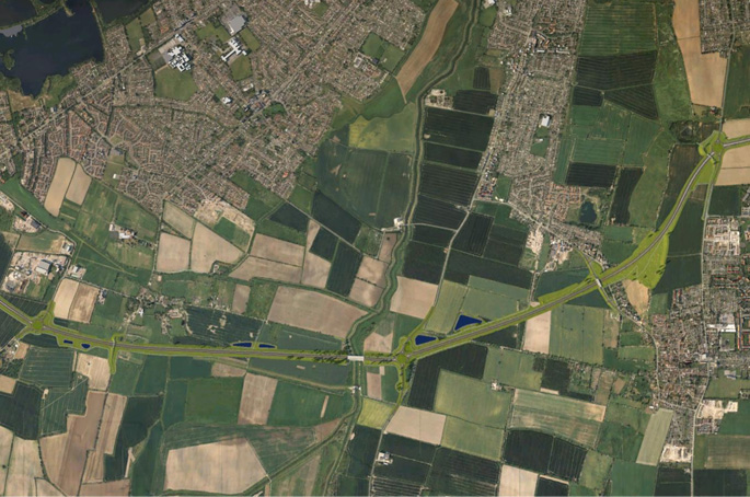
- The road number A122 has been identified for the new 14.3-mile road that will link Essex with Kent, running through the Lower Thames Crossing.
- The A4545 will be the brand new link road being built as part of its £282m upgrade of the M42 Junction 6 near Solihull. It will be the first new A road to be named in the Midlands region for almost 17 years.


