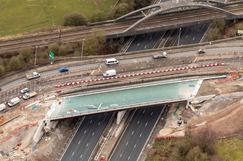
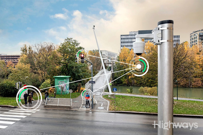
Connect Plus and survey firm Sensat have used drones to digitally map all 120 miles of the M25.
Sensat's drone data capture and visualisation capability captured 23 billion data points and 85,000 high-resolution images in 30 days, said to be the largest drone mapping endeavour to have taken place in the UK.
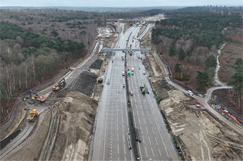
With permission from the CAA to fly drones within built up areas, the drones were used to remotely capture physical photogrammetric survey data to locate features on or above the surface of the earth.
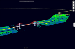
This resulted in the production of highly accurate, geo-referenced 2D and 3D representations of the motorway and adjoining roads.
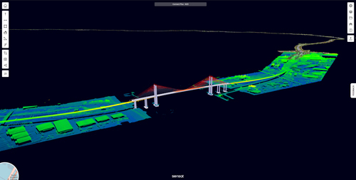
The data was then visualised by turning the images and data into a 3D model of the road network, which will now be used to create a digital representation of the M25 environment.
This will become a key source of detailed information, supporting operators in planning and decision-making, ultimately reducing the need for physical surveys to be carried out in a live highways environment.
Connect Plus chief executive Andy Dean said: ‘We are thrilled that we're now in a position to create the first full digitisation of the M25, giving us a new and innovative way to deliver safer, more reliable journeys for our customers, whilst limiting disruption and reducing our roadworkers' exposure to live traffic.
‘We've already significantly reduced time spent in a live highways environment during pre-works surveys and, by having fewer vehicles on the ground moving between traditional survey points, we have reduced our carbon emissions by 95%, compared to traditional survey methods.
‘This initiative is our first milestone in creating a much wider and integrated digital twin, which will support our planning, monitoring and decision-making."
Sensat chief executive officer James Dean said: ‘Capturing, visualising and then sharing topographic data in our platform means asset and road quality inspections, measurements and accurate reports can be undertaken quickly without people on site. Mark-ups can be made and are visible for all users, and descriptions and attachments can be added directly to enrich the data.
‘With these tools, the complexity is taken out of physical data management and ultimately streamlines manual processes, increases productivity and supports the project's safe delivery.'
Connect Plus is the consortium that operates and manages the M25 and its key arterial routes.
It comprises Edge Orbital Holdings Ltd, Balfour Beatty and Egis Investment Partners. Connect Plus Services is its specialist and strategic supply chain partner, responsible for operations and maintenance.

